
Walk a Petersburg Street from Address to Parcel
Begin a Petersburg street-by-street search with one exact address in the City of Petersburg Real Estate Property CivQuest viewer. Save the property address, map number, owner name, owner mailing address, legal acreage or description, zoning, property use, historic-district field, polling place, and ownership-history citation before moving to the next result. The card is evidence of a public land relationship. It does not establish who occupies the property.
- Search the exact address, then repeat with the street name only if the result list needs to be browsed.
- Record the map number and open the ownership-history entry, including any deed book/page reference.
- Use the City of Petersburg GIS map to compare the parcel shape with street centerlines and address points.
- Take the deed citation to the Petersburg Circuit Court Clerk for the instrument, plat, or earlier legal description.
- For an earlier occupancy question, compare the address with a dated directory or census source rather than treating the current owner as every resident.
For a longer address history, keep an ordered worksheet: source date, address as printed, map number, legal description, owner, and document citation. A street name creates a useful geographic list; the map number and legal description keep that list tied to the right parcel when addresses change or nearby lots look alike.
CivQuest Fields for a Petersburg Address Search
The reproduced CivQuest search screen documents a flexible starting box for address, owner, or map number, plus filters for working along a street. Use a partial name or street filter to create a review list, then open each parcel card individually. The live viewer was intermittently unavailable during research, so confirm its current behavior before relying on an export or an advanced option.
| Documented CivQuest field | How it works | Street-research use |
|---|---|---|
| Search properties | Free text for address, owner, or map number | Start at one known parcel or confirm the parcel number |
| Owner Contains | Partial owner-name text filter | Review parcels associated with a recorded owner |
| Street Name Contains | Partial street-name text filter | Build a parcel inventory for a named street |
| Subdivision, Zoning, Property Use Code, and Property Use Description | Optional multi-select filters | Separate a corridor or subdivision by its public land-use attributes |
| Acres, Land Value, Improvement Value, and Total Value | Optional numeric ranges | Narrow a large result set without treating values as resident evidence |
| Sale Date | Optional date range | Find a time window for property transactions to verify with the clerk |
Filter, List, and Table modes are useful for comparison. Keep the result count and map numbers before clicking into cards, because a later ownership update or reassessment can make a repeat search look different. Fields such as ward, polling place, census tract, historic district, and zoning describe geography and administration, not household membership.
Map Layers Behind a Petersburg Street Search
The City GIS page documents tax-parcel and appraisal information alongside utilities, zoning, street centerlines, address points, jurisdictional boundaries, flood plains, stormwater, land use, and public assets. These layers let a researcher follow the road itself, confirm which parcel fronts it, and avoid calling every adjacent shape a private residence. The toolbar shown in city material includes Layers, Legend, Map, Nearby, Select, Measure, Draw, Coords, Export, and Places.
The City GIS landing page is the source for this map-oriented view of Petersburg record geography.
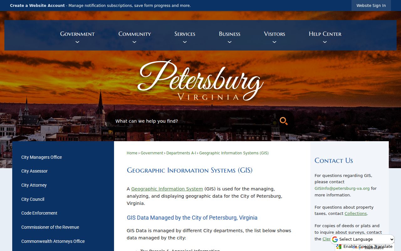
Use the image as a reminder that GIS answers the location question first: where the address point and parcel lie, what public layers apply, and whether a record should be directed to GIS, the assessor, or the clerk for a deed or plat.
Owner Mailing Address and Situs Are Different Petersburg Clues
A CivQuest property card separates the property address from the owner mailing address. The property, or situs, address is the mapped location. The mailing address is where assessment and tax correspondence is sent, and city examples include addresses in Chester, Florida, and Petersburg post-office boxes for properties located on Petersburg streets. A mailing location can be a useful contact clue, but it does not show that the named owner is at the property.
- Parcel or map number
- The assessor’s identifier for the land record. It helps connect the map, parcel card, tax material, and an address that may be formatted differently elsewhere.
- Situs address
- The physical property address attached to the parcel. It is not, by itself, proof of who is currently there.
- Plat
- A recorded map that can translate an address into lot, block, subdivision, or metes-and-bounds geography. The clerk, rather than GIS, is the source for deed and plat copies.
- Criss-cross directory
- An address-organized directory. It is historical evidence for the date of its volume and should be read with its year, publisher, and page.
Address Records That Make a Petersburg Street Directory
No single source provides a complete people list for a street. The useful records are keyed to property, a legal transaction, municipal work, or an historical publication. Reading them together yields a documented parcel trail while keeping ownership, mailing, and occupancy as separate ideas.
| Record Set | Keeper | What It Shows | Access |
|---|---|---|---|
| Current parcel and assessment | City Assessor / CivQuest | Owner, mailing and situs addresses, values, use, legal description, zoning, districts, and ownership history | Viewer or assessor counter |
| Parcel and address layers | City GIS | Parcel geometry, street centerlines, address points, zoning, flood, utility, ward, land-use, and public-asset layers | Web map, GIS email, or request for existing exports |
| Deeds, plats, and liens | Circuit Court Clerk | Grantor/grantee, legal description, consideration, book/page, and title trail | Secure remote access, clerk counter, or historic microfilm |
| Tax-bill and collections material | Treasurer/Collections | Map number and bill, payment, or delinquency information | Phone or email request; public name search was not located |
| Permits and code files | Code Compliance / Planning | Existing permit, inspection, work-type, or enforcement record by address | iWorQ route, office, or Virginia FOIA request |
| Historic directories | Library and archival collections | Dated address-to-occupant clues, occupations, and household notes | Research room, microfilm, or licensed collection |
The map number joins the present-day parcel card to tax material and helps distinguish same-number addresses. The deed book/page can bridge from the card to the legal record. A street name is useful for browsing, but it is less stable than the legal description, subdivision, lot, or plat when a historic record uses another form of the address.
Carry the Deed Trail Along a Petersburg Block
When the parcel card gives an ownership-history book/page, take that citation to the clerk’s index or counter. Read the purchase deed for the grantor, grantee, recording date, legal description, consideration, prior-deed reference, and any easement or lien information relevant to the parcel. Then use the seller as a grantee in an earlier purchase and repeat. The legal description, lot or block, adjacent owners, and recording date are safeguards against attaching a same-name transaction to the wrong property.
The Petersburg secure remote-access agreement describes inquiry-only access to clerk indices and documents, but the current online cutoff was not located in the inspected material. Its listed subscription prices came from the inspected agreement and may change, so ask the clerk for current access and copy details. When the usable index ends, the Library of Virginia Petersburg microfilm catalog is the documented historical fallback, with deed series beginning in 1784.
Permits and Code Files Date a Petersburg Address
Address-keyed permits and code files can add the date and type of recorded construction or alteration to a parcel timeline. Petersburg Permits identifies online submission for building, electrical, mechanical, plumbing, and swimming-pool work through iWorQ. The inspected page did not reveal a public historic-results search or its coverage dates. For an existing record, identify the street address, approximate date, permit type, and whether the request is for a permit, inspection, or code-enforcement file.
The Petersburg permits page documents the address-related application route.
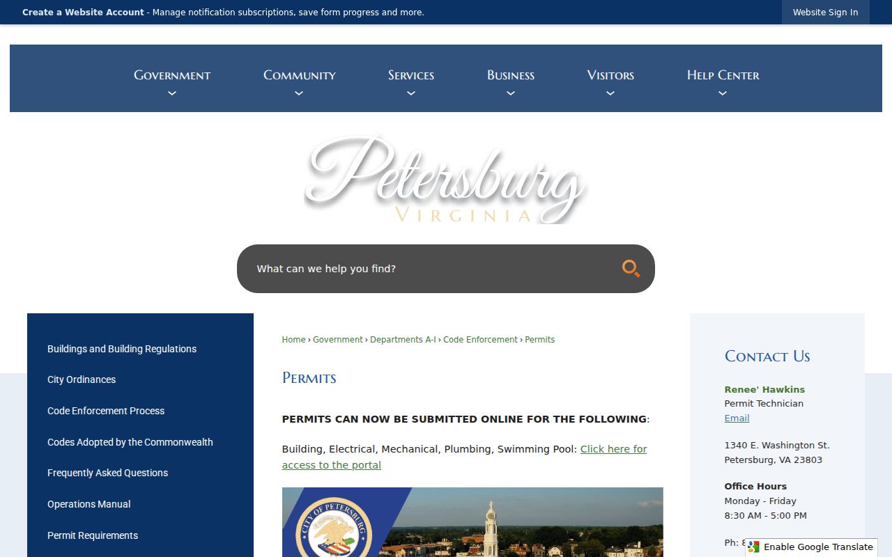
This route can establish that a city record may exist for work at an address; it does not prove a person’s current connection to the parcel. If the portal does not answer the question, a request under Virginia FOIA can seek existing city records by address, type, and date range. The statute requires a prompt response within five working days, subject to stated extensions, and permits actual-cost charges.
Petersburg Code Enforcement explains the city’s permit, inspection, and building-code function and is another address-specific contact channel.
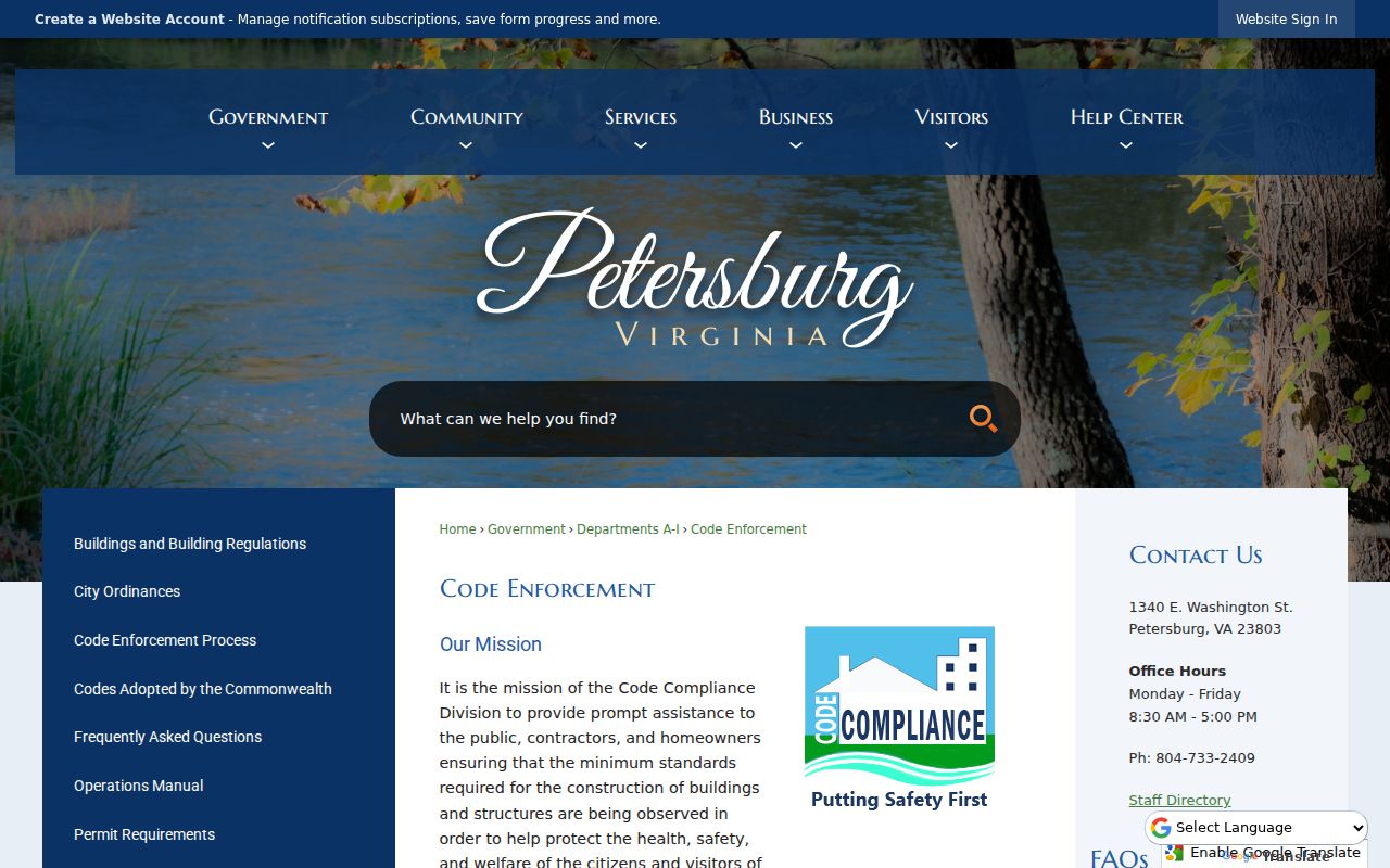
Code material should be read as a record of city review or enforcement, not as a profile of the people connected with the address. The Code Enforcement office requests should be specific about the record sought rather than asking staff to identify a resident.
Historic Address Evidence from Petersburg Directories and Maps
For an older street question, use a volume from the Petersburg Public Library Research Room or another documented repository. The DHR historic-context report identifies Petersburg City Directories for 1860 and from 1876 forward, with gaps not itemized, and an unpublished 1877–78 city-directory compilation arranged by street that identifies Black and white residents. That street-arranged compilation is valuable historical address evidence, but it needs a repository inquiry for access and should not be treated as a present-day roll.
The same research-room description lists Sanborn maps on microfilm, including local 1903 and 1921–1934 coverage. A Sanborn map adds building footprint and use context rather than a complete list of people. Match the directory’s printed street number with the property’s legal clues, because a modern number may not match the earlier address form.
Petersburg’s Independent-City Geography Changes the Search
Petersburg’s current local record trail is an independent-city trail. Older address work can cross into Dinwiddie or Prince George because the city expanded through annexations in 1921, 1932, 1945, 1956, and 1971, followed by a 1991 boundary adjustment with Prince George. An address that appears on a current city map can therefore have a deed, directory, or census context under a different locality label in another year.
For a disputed historic location, preserve the exact locality printed in the record, then compare the street, legal description, and map or plat. Do not force an older county reference into the present city boundary. This records geography is one reason a careful by-address search is more reliable than a name-only list.
A Street Address Is Not a Public Voter Roll
The Virginia voter status portal asks for first and last name, date of birth, the last four digits of the Social Security number, locality, and an authorization certification. It is designed for a voter or an authorized user to check that voter’s status, polling place, and voting history. It is not a public street browser.
Virginia’s list rules also omit sensitive fields and limit copies to specified recipients and purposes. A parcel card’s polling-place or ward field is useful civic geography, not evidence of who is registered at a street address. For a question about a person’s own registration, the Petersburg Registrar provides the local process channel.
Where a Petersburg Street Search Stops
The assessor identifies ownership and tax mailing, not every occupant. Other household members and short-term occupants may be absent from public land records. DMV residence data is restricted, utility customer lists are not a public resident source, and an Address Confidentiality Program participant may use a substitute address. The Virginia voter status system is for the voter or an expressly authorized user, not a public browse tool for a street.
Lawful use. Use address records for family and house history, estate work, civic understanding, or a carefully verified personal question. Do not use them to follow, threaten, harass, or intimidate anyone. Virginia law restricts repeated conduct intended or known to place a person or family member in fear.